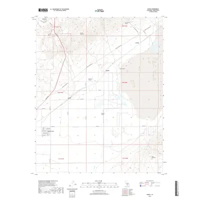
2018 Map of Cantil
USGS Topo · Published 2018About this map
Cantil serves as a central point in this high-desert landscape, where the flat expanse of the Fremont Valley meets the rising slopes of the El Paso Mountains. The settlement pattern here is defined by historical transit corridors, including the Midland Trl and various routes connecting smaller locales such as Gypsite, Rancho Seco, and Ricardo. To the north, the terrain becomes dramatically dissected by Red Rock Canyon and Last Chance Canyon, showing the complex drainage systems that feed into the valley floor.
Find a feature on this map
38 named features on this map. Tap any name to fly to it.
Don’t see what you’re looking for? This feature index may not catch every label — zoom into the map to look around manually.
Map Details
Editions of this 2018 Cantil Map
This is the sole edition of this map. No revisions or reprints were ever made.
Other maps of this area

1915 · Searles Lake
USGS Topo · 1:250,000

1915 · Mojave
USGS Topo · 1:125,000

1943 · Cross Mountain
USGS Topo · 1:62,500

1943 · Saltdale
USGS Topo · 1:62,500

1943 · Castle Butte
USGS Topo · 1:62,500

1943 · Mojave
USGS Topo · 1:62,500

1947 · Castle Butte
USGS Topo · 1:50,000

1947 · Trona
USGS Topo · 1:250,000

1948 · Trona
USGS Topo · 1:250,000

1948 · Bakersfield
USGS Topo · 1:250,000