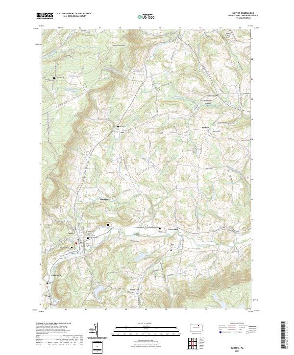
2023 Map of Canton
USGS Topo · Published 2023About this map
Canton and its surrounding Bradford County hamlets are defined by the winding valley of Towanda Creek, which cuts through the high plateau of Armenia Mountain. This 2023 survey documents a landscape where agricultural heritage and small-town life remain central, anchored by long-standing settlements like East Canton, Alba, and Grover. The area is notably dense with burial grounds, including Saint Michaels Cem, Main Street Cem, and Beech Flats Cem, which provide significant points of reference for genealogists tracking family lineages in the region.
Find a feature on this map
99 named features on this map. Tap any name to fly to it.
Don’t see what you’re looking for? This feature index may not catch every label — zoom into the map to look around manually.
Map Details
Editions of this 2023 Canton Map
This is the sole edition of this map. No revisions or reprints were ever made.
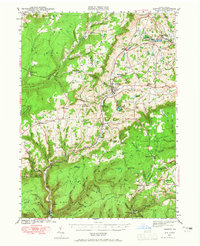
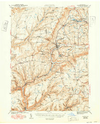
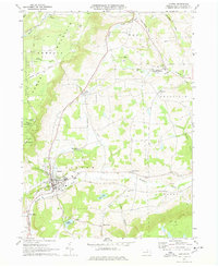
Historical Maps of Troy Township Through Time
4 maps found