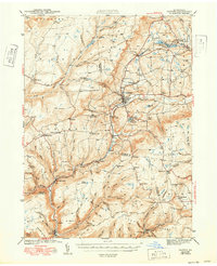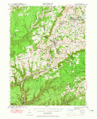
1942 Map of Canton
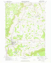
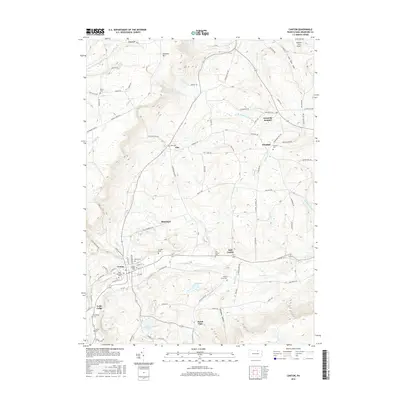
USGS Topo · Published 1965About this map
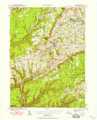
Canton serves as the central hub of this northern Pennsylvania landscape, where the Pennsylvania RR follows the narrow valley of Lycoming Creek. The map reveals a transition between established agricultural settlements like East Canton and the heavily forested, dissected plateaus of the Tioga State Forest and State Game Lands. Transportation history is prominent, noting the route of the S & N Y RR (Abandoned) winding through the southern hills near Ellenton. Local education and faith are deeply mapped through scattered rural institutions such as the Joe Hill Sch, Parsons Hill Sch, and Maple Summit Ch. The presence of a CCC Camp near Masten and numerous smaller settlements like Grover and Leolyn illustrate a rugged economy tied to timber, rail, and small-scale farming during the early 1940s.
Find a feature on this map
94 named features on this map. Tap any name to fly to it.
Don’t see what you’re looking for? This feature index may not catch every label — zoom into the map to look around manually.
Map Details
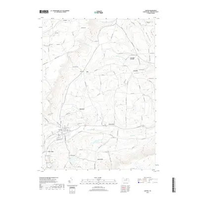
Editions of this 1942 Canton Map
2 editions found
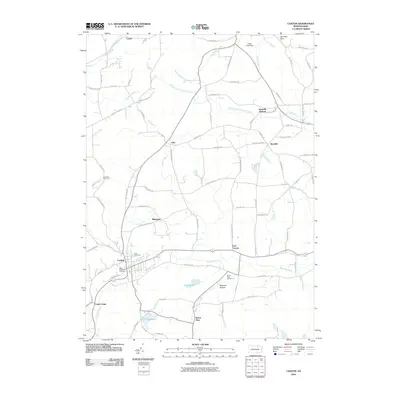
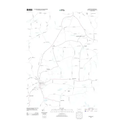
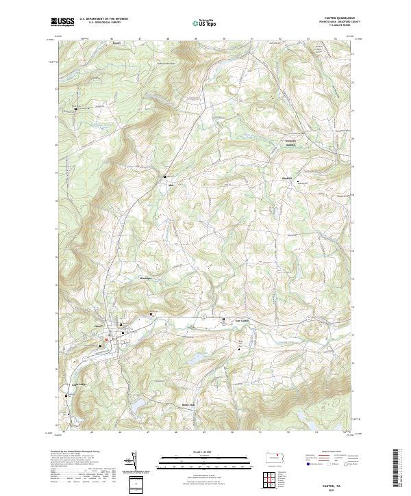
Historical Maps of Canton Through Time
8 maps found