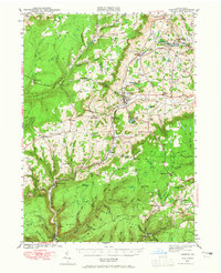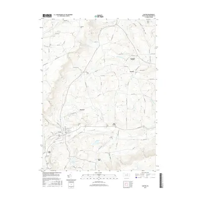
1944 Map of Canton
USGS Topo · Published 1950About this map
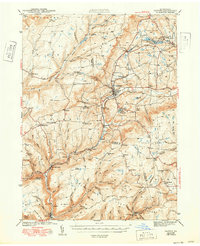
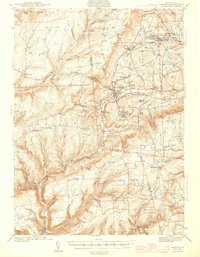
The Pennsylvania railroad corridor anchors this survey of northern Pennsylvania, tracing a vital transport artery through Canton and up toward Granville Summit. During the early 1940s, the landscape was a mix of small mountain settlements and resource-driven industry, as evidenced by the now-abandoned S & NY rail line snaking through the southern mountains near Masten. Higher elevations such as Huckleberry Mtn and Pine Hill overlook a network of valley communities, each often centered around a local schoolhouse like Ward Sch or a country church like North Union Ch. The map reveals a transition toward conservation and public use in the mid-century, shown by the establishment of the Tioga State Forest and the State Game Lands. Notable landmarks including Lake Nephawin and the CCC Camp near Cascade offer insights into the recreational and social infrastructure of the era.
Find a feature on this map
94 named features on this map. Tap any name to fly to it.
Don’t see what you’re looking for? This feature index may not catch every label — zoom into the map to look around manually.
Map Details
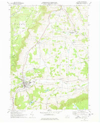
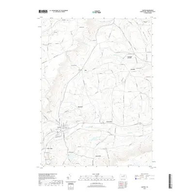
Editions of this 1944 Canton Map
3 editions found

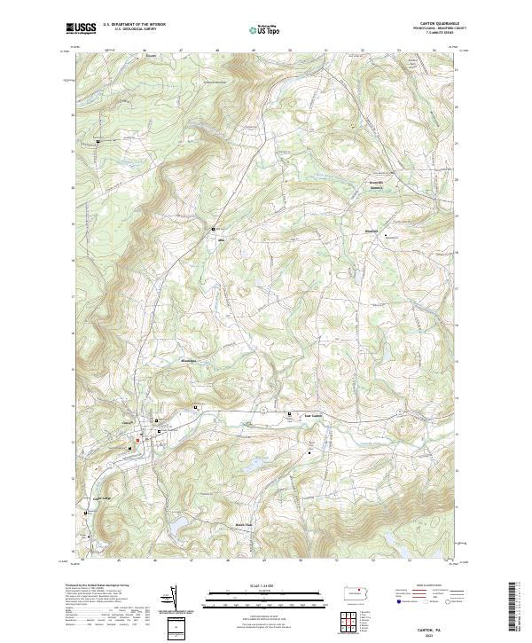
Historical Maps of Canton Through Time
8 maps found