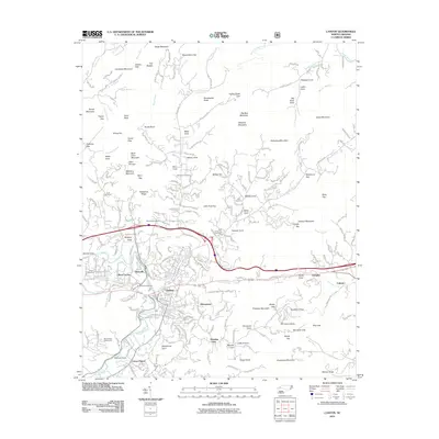
2011 Map of Canton
USGS Topo · Published 2011About this map
The Pigeon River flows through the heart of this Haywood County landscape, shaping the industrial and residential development of Canton and its satellite communities. The influence of the local timber and paper industry is evident in the layout of Fibreville, a company-built neighborhood designed to house workers near the mill. Surrounding the urban center, the terrain is defined by a series of coves and gaps, including Buck Cove Mountain and Wolf Pit Gap, which have historically dictated the placement of roads and small homesteads.
Find a feature on this map
194 named features on this map. Tap any name to fly to it.
Don’t see what you’re looking for? This feature index may not catch every label — zoom into the map to look around manually.
Map Details
Editions of this 2011 Canton Map
This is the sole edition of this map. No revisions or reprints were ever made.
Other maps of this area

1894 · Asheville
USGS Topo · 1:125,000

1901 · Asheville
USGS Topo · 1:125,000

1905 · Pisgah
USGS Topo · 1:125,000

1906 · Pisgah
USGS Topo · 1:125,000

1935 · Cruso
USGS Topo · 1:24,000

1935 · Waynesville
USGS Topo · 1:24,000

1935 · Canton
USGS Topo · 1:24,000

1935 · Clyde
USGS Topo · 1:24,000

1936 · Sandymush
USGS Topo · 1:24,000

1936 · Enka
USGS Topo · 1:24,000