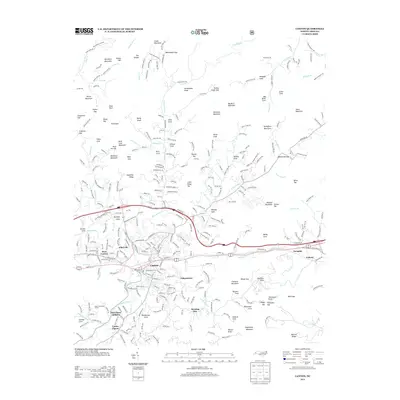
2013 Map of Canton
USGS Topo · Published 2013About this map
The industrial and residential landscape of Canton is anchored by the Pigeon River and the historical neighborhoods of Fibreville and West Canton. This 2013 survey illustrates the community's expansion into the surrounding highlands, where older settlements like Gibsontown and Morning Star sit below the rising elevations of Sassafras Ridge and Millstone Mountain. The map detail follows the river valley's development, including the Plott Farm Addition and Center Pigeon to the south.
Find a feature on this map
328 named features on this map. Tap any name to fly to it.
Don’t see what you’re looking for? This feature index may not catch every label — zoom into the map to look around manually.
Map Details
Editions of this 2013 Canton Map
This is the sole edition of this map. No revisions or reprints were ever made.
Other maps of this area

1894 · Asheville
USGS Topo · 1:125,000

1901 · Asheville
USGS Topo · 1:125,000

1905 · Pisgah
USGS Topo · 1:125,000

1906 · Pisgah
USGS Topo · 1:125,000

1935 · Cruso
USGS Topo · 1:24,000

1935 · Waynesville
USGS Topo · 1:24,000

1935 · Canton
USGS Topo · 1:24,000

1935 · Clyde
USGS Topo · 1:24,000

1936 · Sandymush
USGS Topo · 1:24,000

1936 · Enka
USGS Topo · 1:24,000