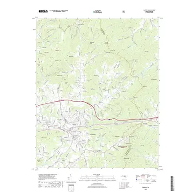
2019 Map of Canton
USGS Topo · Published 2019About this map
Canton serves as the industrial and social hub of this landscape, situated along the Pigeon River and served by the Blue Ridge Southern RR. The dense residential and industrial footprint of Fibreville and Gibsontown contrasts with the surrounding mountain gaps and ridges. To the south and east, the terrain rises toward the Pisgah National Forest, where features like Potato Knob and Doubletop Mtn overlook smaller settlements such as Morning Star and Center Pigeon. This map documents a high density of family-named landmarks and resting places, including the Smathers Cemeteries, Bon-A-Venture Cem, and Henderson Cem. The geography is defined by the convergence of several waterways, including Hominy Cr and Dutch Cove Cr, which have historically dictated the placement of roads and rail lines through these mountain corridors.
Find a feature on this map
92 named features on this map. Tap any name to fly to it.
Don’t see what you’re looking for? This feature index may not catch every label — zoom into the map to look around manually.
Map Details
Editions of this 2019 Canton Map
This is the sole edition of this map. No revisions or reprints were ever made.
Other maps of this area

1894 · Asheville
USGS Topo · 1:125,000

1901 · Asheville
USGS Topo · 1:125,000

1905 · Pisgah
USGS Topo · 1:125,000

1906 · Pisgah
USGS Topo · 1:125,000

1935 · Cruso
USGS Topo · 1:24,000

1935 · Waynesville
USGS Topo · 1:24,000

1935 · Canton
USGS Topo · 1:24,000

1935 · Clyde
USGS Topo · 1:24,000

1936 · Sandymush
USGS Topo · 1:24,000

1936 · Enka
USGS Topo · 1:24,000