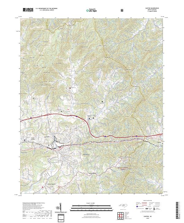
2022 Map of Canton
USGS Topo · Published 2022About this map
The Pigeon River flows through the heart of this landscape, anchoring a series of communities that define the valley floor. Canton stands as the central hub, surrounded by distinct residential and industrial pockets such as Fibreville, West Canton, and Gibsontown. The infrastructure here reflects a modern era of transportation with Interstate 40 and US Highway 74 cutting across the terrain, while the Norfolk Southern railroad tracks trace the river's path, echoing the region's long-standing reliance on rail for commerce.
Find a feature on this map
69 named features on this map. Tap any name to fly to it.
Don’t see what you’re looking for? This feature index may not catch every label — zoom into the map to look around manually.
Map Details
Editions of this 2022 Canton Map
This is the sole edition of this map. No revisions or reprints were ever made.
Other maps of this area

1894 · Asheville
USGS Topo · 1:125,000

1901 · Asheville
USGS Topo · 1:125,000

1905 · Pisgah
USGS Topo · 1:125,000

1906 · Pisgah
USGS Topo · 1:125,000

1935 · Cruso
USGS Topo · 1:24,000

1935 · Waynesville
USGS Topo · 1:24,000

1935 · Canton
USGS Topo · 1:24,000

1935 · Clyde
USGS Topo · 1:24,000

1936 · Sandymush
USGS Topo · 1:24,000

1936 · Enka
USGS Topo · 1:24,000