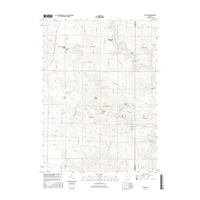
2015 Map of Canton
USGS Topo · Published 2015About this map
The Maquoketa River winds through a landscape of carved bluffs and deep valleys along the border of Jones and Jackson Counties. The settlement of Canton sits at a prominent bend in the river, marked by distinctive geological features like Eagle Rock, Poker Rock, and Goose Rock. This area reflects a classic rural Iowa settlement pattern where small communities like Clay Mills and Ozark grew along watercourses and early road networks. Local history is anchored by several cemeteries, including Saint Peters Temple Hill Cem and Clay Cem, which serve as vital markers for genealogical research in this river valley region.
Find a feature on this map
72 named features on this map. Tap any name to fly to it.
Don’t see what you’re looking for? This feature index may not catch every label — zoom into the map to look around manually.
Map Details
Editions of this 2015 Canton Map
This is the sole edition of this map. No revisions or reprints were ever made.
Other maps of this area

1891 · Monticello
USGS Topo · 1:62,500

1891 · Baldwin
USGS Topo · 1:62,500

1900 · Anamosa
USGS Topo · 1:125,000

1901 · Peosta
USGS Topo · 1:125,000

1959 · Dubuque
USGS Topo · 1:250,000

1961 · Dubuque
USGS Topo · 1:250,000

1962 · Dubuque
USGS Topo · 1:250,000
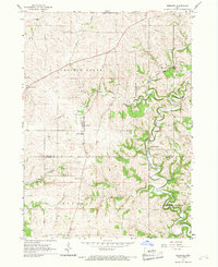
1966 · Bernard
USGS Topo · 1:24,000
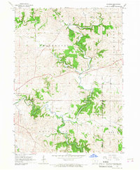
1966 · Fillmore
USGS Topo · 1:24,000
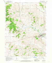
1966 · Cascade
USGS Topo · 1:24,000