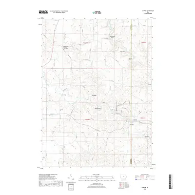
2018 Map of Canton
USGS Topo · Published 2018About this map
Temple Hill and the surrounding borderlands of Jones and Jackson Counties are defined by the meandering path of the Maquoketa River and its North Fork. This 2018 survey documents a rural landscape where small settlements like Canton and Ozark persist alongside family-named landmarks and historic river crossings. Notable terrain features such as Mahoneys Bend, Eagle Rock, and Goose Rock illustrate the river's influence on the topography, while the presence of McGargels Ford and Supple Bridge indicates long-established transit points across these waters.
Find a feature on this map
69 named features on this map. Tap any name to fly to it.
Don’t see what you’re looking for? This feature index may not catch every label — zoom into the map to look around manually.
Map Details
Editions of this 2018 Canton Map
This is the sole edition of this map. No revisions or reprints were ever made.
Other maps of this area

1891 · Monticello
USGS Topo · 1:62,500

1891 · Baldwin
USGS Topo · 1:62,500

1900 · Anamosa
USGS Topo · 1:125,000

1901 · Peosta
USGS Topo · 1:125,000

1959 · Dubuque
USGS Topo · 1:250,000

1961 · Dubuque
USGS Topo · 1:250,000

1962 · Dubuque
USGS Topo · 1:250,000
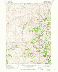
1966 · Bernard
USGS Topo · 1:24,000
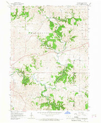
1966 · Fillmore
USGS Topo · 1:24,000
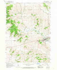
1966 · Cascade
USGS Topo · 1:24,000