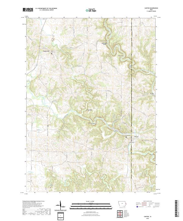
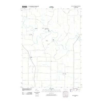
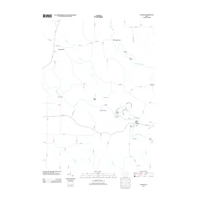
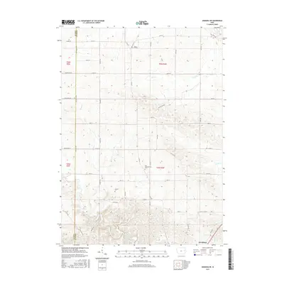
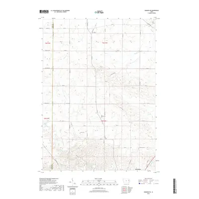
2022 Map of Canton
USGS Topo · Published 2022About this map
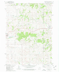
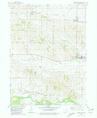
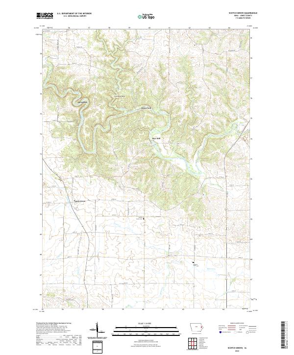
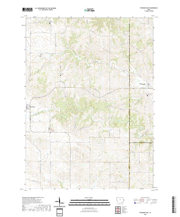
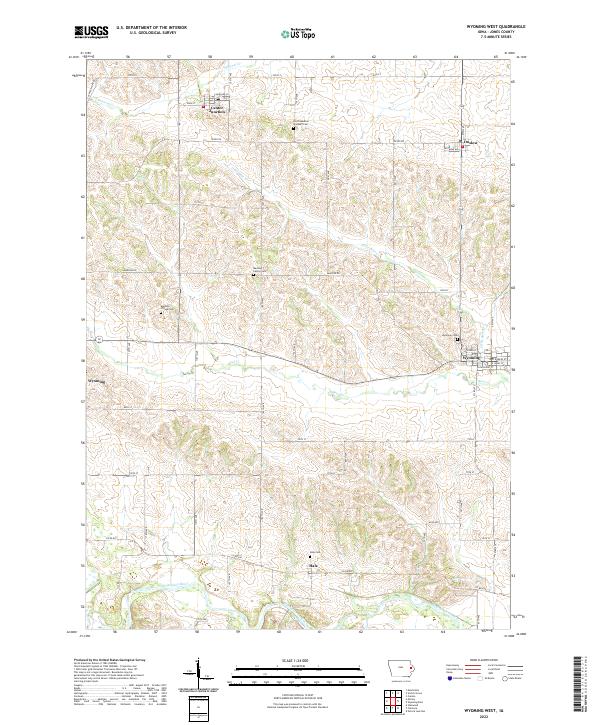
The North Fork Maquoketa River carves a winding path through the borderlands of Jones and Jackson Counties, defining a landscape of sharp bends and steep hollows. This 2022 survey documents the rural character of eastern Iowa, where settlements like Canton and Clay Mills remain anchored to the river's course. The topography reveals several distinctive river features, such as Mahoneys Bend, the sharp profile of Eagle Rock, and the historic crossing at McGargels Ford.
Find a feature on this map
73 named features on this map. Tap any name to fly to it.
Don’t see what you’re looking for? This feature index may not catch every label — zoom into the map to look around manually.
Map Details
Editions of this 2022 Canton Map
This is the sole edition of this map. No revisions or reprints were ever made.
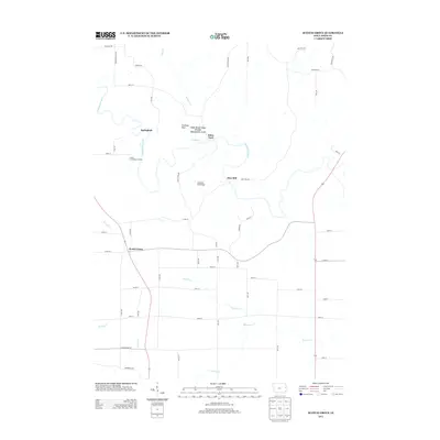
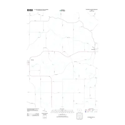
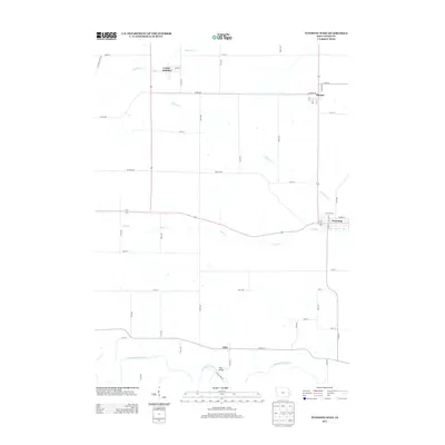
Historical Maps of Ozark Through Time
30 maps found
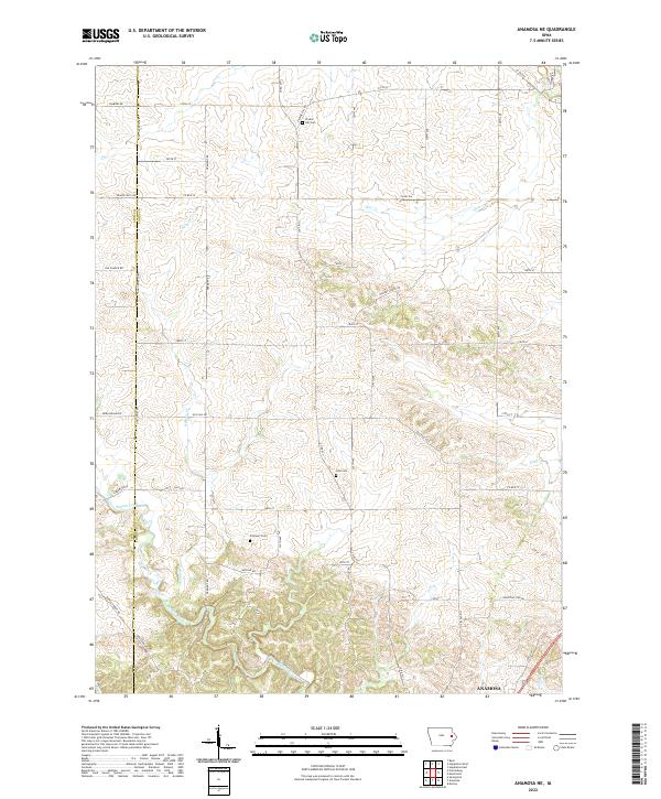
1973 Anamosa NE
Jones County, IA
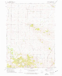
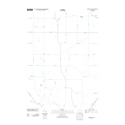
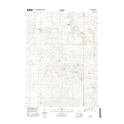
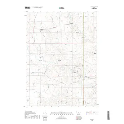
1980 Canton
Jones County, IA
1980 Scotch Grove
Jones County, IA
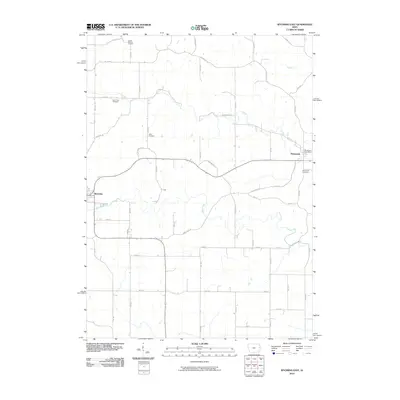
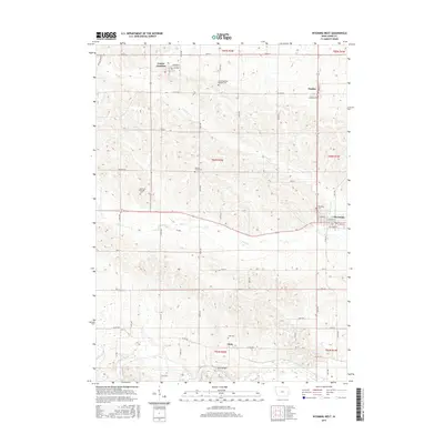
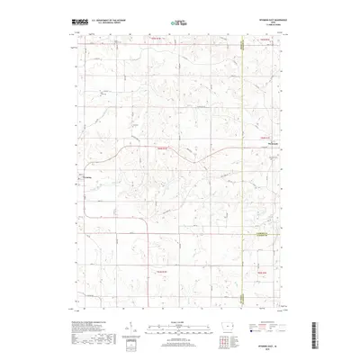
1980 Wyoming East
Jones County, IA
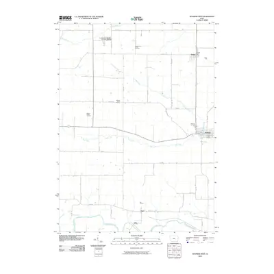
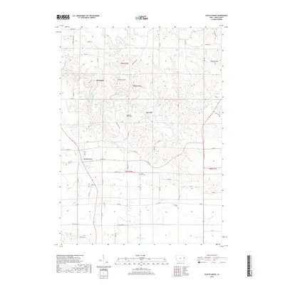
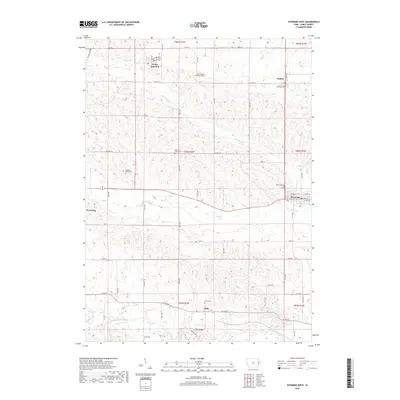
1980 Wyoming West
Jones County, IA
2010 Anamosa NE
Jones County, IA
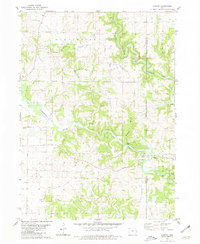
2010 Canton
Jones County, IA
2010 Scotch Grove
Jones County, IA
2010 Wyoming East
Jones County, IA
2010 Wyoming West
Jones County, IA
2013 Anamosa NE
Jones County, IA
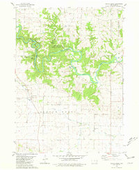
2013 Canton
Jones County, IA
2013 Scotch Grove
Jones County, IA
2013 Wyoming East
Jones County, IA
2013 Wyoming West
Jones County, IA
2015 Anamosa NE
Jones County, IA
2015 Canton
Jones County, IA
2015 Scotch Grove
Jones County, IA
2015 Wyoming East
Jones County, IA
2015 Wyoming West
Jones County, IA
2018 Anamosa NE
Jones County, IA
2018 Canton
Jones County, IA
2018 Scotch Grove
Jones County, IA
2018 Wyoming East
Jones County, IA
2018 Wyoming West
Jones County, IA
2022 Anamosa NE
Jones County, IA
2022 Canton
Jones County, IA
2022 Scotch Grove
Jones County, IA
2022 Wyoming East
Jones County, IA
2022 Wyoming West
Jones County, IA