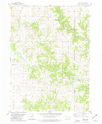
1980 Map of Canton
USGS Topo · Published 1981About this map
The North Fork Maquoketa River and the main Maquoketa River dominate this Jones County landscape, where winding watercourses have carved dramatic bluffs and hollows into the eastern Iowa terrain. Small rural settlements and crossroads like Canton and Clay Mills anchor the region, reflecting the nineteenth-century agricultural and milling history of Clay and Washington townships. The map documents several distinctive geologic landmarks along the river bends, including Sawyers Rock, Eagle Rock, and Poker Rock.
Find a feature on this map
24 named features on this map. Tap any name to fly to it.
Don’t see what you’re looking for? This feature index may not catch every label — zoom into the map to look around manually.
Map Details
Editions of this 1980 Canton Map
This is the sole edition of this map. No revisions or reprints were ever made.
Other maps of this area

1891 · Monticello
USGS Topo · 1:62,500

1891 · Baldwin
USGS Topo · 1:62,500

1900 · Anamosa
USGS Topo · 1:125,000

1901 · Peosta
USGS Topo · 1:125,000

1959 · Dubuque
USGS Topo · 1:250,000

1961 · Dubuque
USGS Topo · 1:250,000

1962 · Dubuque
USGS Topo · 1:250,000
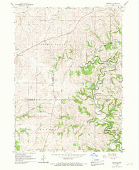
1966 · Bernard
USGS Topo · 1:24,000
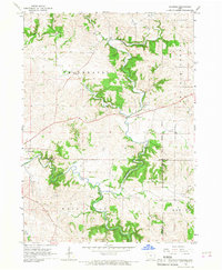
1966 · Fillmore
USGS Topo · 1:24,000
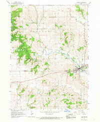
1966 · Cascade
USGS Topo · 1:24,000