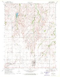
1971 Map of Canton
USGS Topo · Published 1972About this map
The town of Canton serves as a hub for both transportation and the energy industry in the early 1970s. Located at the intersection of the Chicago Rock Island and Pacific and the Atchison Topeka and Santa Fe railroads, the area is heavily defined by the Ritz-Canton Oil Field and the Jenday Oil Field, with numerous oil wells and a petroleum pipeline crossing the landscape.
Find a feature on this map
28 named features on this map. Tap any name to fly to it.
Don’t see what you’re looking for? This feature index may not catch every label — zoom into the map to look around manually.
Map Details
Editions of this 1971 Canton Map
2 editions found
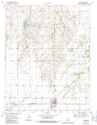
Other maps of this area

1889 · Newton
USGS Topo · 1:125,000

1889 · Abilene
USGS Topo · 1:125,000

1891 · Hutchinson
USGS Topo · 1:125,000

1892 · Salina
USGS Topo · 1:125,000

1893 · Hutchinson
USGS Topo · 1:125,000

1894 · Newton
USGS Topo · 1:125,000

1894 · Abilene
USGS Topo · 1:125,000

1942 · Salina
USGS Topo · 1:125,000

1955 · Hutchinson
USGS Topo · 1:250,000

1959 · Hutchinson
USGS Topo · 1:250,000