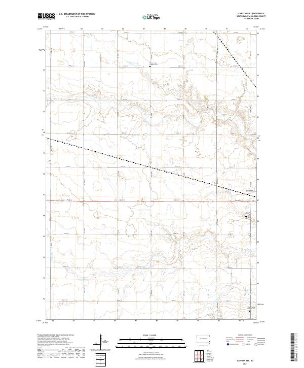
2021 Map of Canton SW
USGS Topo · Published 2021About this map
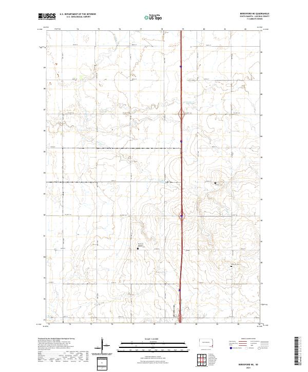
The rolling agricultural landscape of t98n r49w and surrounding townships in Lincoln County is defined by the winding paths of several watercourses. Central to this survey are the meandering braids of Beaver Cr and S Beaver Cr, which dictate the topography of this corner of South Dakota. The land is strictly organized by a dense grid of range roads and section lines, including 479th Ave and 285th St. For the genealogist and local historian, several significant burial sites are documented across these sections, such as the Beaver Creek Lutheran Cem to the north and the Grand Valley Lutheran Cem in the south near Little Beaver Cr. The map also captures the western edge of Canton, providing a detailed look at its immediate outskirts and the nearby Forest Hill Cem.
Find a feature on this map
28 named features on this map. Tap any name to fly to it.
Don’t see what you’re looking for? This feature index may not catch every label — zoom into the map to look around manually.
Map Details
Editions of this 2021 Canton SW Map
This is the sole edition of this map. No revisions or reprints were ever made.
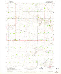
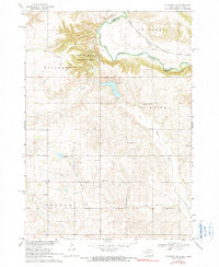
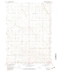
Historical Maps of LaValley Township Through Time
8 maps found
Featured Locations
- Lincoln Township, SD
- Canton Township, SD
- Highland Township, SD
- LaValley Township, SD
- Canton, Canton Township