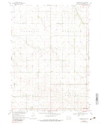
1968 Map of Alcester NW
USGS Topo · Published 1983About this map
The rural townships of Lincoln, Highland, Pleasant, and Norway define the landscape of this corner of Lincoln County in the late 1960s. The map reveals a high density of rural institutions that once served the agricultural community, including a series of namesake schools such as Plain View Sch, Pleasant Ridge Sch, and Highland Center Sch. This grid-based settlement pattern is characteristic of the Missouri River Basin development era, where section roads connect small hamlets like Norway Center with local houses of worship.
Find a feature on this map
28 named features on this map. Tap any name to fly to it.
Don’t see what you’re looking for? This feature index may not catch every label — zoom into the map to look around manually.
Map Details
Editions of this 1968 Alcester NW Map
2 editions found
Other maps of this area

1897 · Canton
USGS Topo · 1:125,000

1900 · Canton
USGS Topo · 1:125,000

1955 · Sioux Falls
USGS Topo · 1:250,000

1958 · Sioux Falls
USGS Topo · 1:250,000

1962 · Canton
USGS Topo · 1:24,000

1964 · Canton SW
USGS Topo · 1:24,000

1964 · Worthing
USGS Topo · 1:24,000

1968 · Alcester NW
USGS Topo · 1:24,000

1968 · Alcester NE
USGS Topo · 1:24,000
1968 · Alcester
USGS Topo · 1:24,000