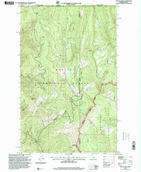
1996 Map of Canuck Peak
USGS Topo · Published 1999About this map
The international border between Idaho, Montana, and British Columbia defines this high-altitude landscape within the Kaniksu National Forest and Kootenai National Forest. This 1996 revision shows a terrain dominated by significant peaks and ridges, including Copper Mountain, American Mountain, and Canuck Peak. The area is a nexus of water sources, with drainages such as Copper Creek and American Creek flowing from the heights. Evidence of mineral exploration appears in several remote locations, labeled as Prospect and Prospects, particularly along the southern ridges near Buckhorn Mountain. Strategic high-country passes like Canuck Pass provide the primary transit points across the Ruby Ridge and Copper Ridge, while small alpine waters like Spruce Lake and Hidden Lake are tucked into the steep slopes.
Find a feature on this map
33 named features on this map. Tap any name to fly to it.
Don’t see what you’re looking for? This feature index may not catch every label — zoom into the map to look around manually.
Map Details
Editions of this 1996 Canuck Peak Map
This is the sole edition of this map. No revisions or reprints were ever made.
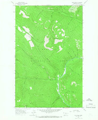
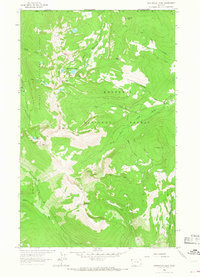
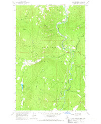
Other maps of this area

1911 · Priest Lake
USGS Topo · 1:250,000

1913 · Priest Lake
USGS Topo · 1:250,000

1957 · Kalispell
USGS Topo · 1:250,000

1958 · Sandpoint
USGS Topo · 1:250,000

1960 · Kalispell
USGS Topo · 1:250,000

1961 · Kalispell
USGS Topo · 1:250,000

1963 · Sandpoint
USGS Topo · 1:250,000
1963 · Mount Baldy
USGS Topo · 1:24,000
1963 · Northwest Peak
USGS Topo · 1:24,000
1965 · Meadow Creek
USGS Topo · 1:24,000