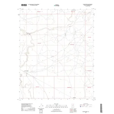
2018 Map of Canyon Diablo
USGS Topo · Published 2018About this map
Canyon Diablo cuts a deep, winding path through the high desert landscape of Coconino County, serving as the central geographic feature of this 2018 survey. The terrain is characterized by the confluence of major drainages, including the intersection of Yellow Jacket Canyon and Padre Canyon in the northwestern quadrant. These canyons create a complex relief across the plateau, dictating the placement of infrastructure in an otherwise sparse region. Settlement is concentrated at Sunshine, a point situated along the southern edge of the map. The human footprint here is primarily defined by a network of local transport routes, most notably Indian Rte 6930 and Indian Rte 6931, which navigate the tablelands between the steep canyon walls.
Find a feature on this map
19 named features on this map. Tap any name to fly to it.
Don’t see what you’re looking for? This feature index may not catch every label — zoom into the map to look around manually.
Map Details
Editions of this 2018 Canyon Diablo Map
This is the sole edition of this map. No revisions or reprints were ever made.
Other maps of this area

1883 · Tusayan
USGS Topo · 1:250,000

1886 · Tusayan
USGS Topo · 1:250,000

1886 · San Francisco Mtns
USGS Topo · 1:250,000

1891 · San Francisco Mtns
USGS Topo · 1:250,000

1894 · San Francisco Mtns
USGS Topo · 1:250,000

1899 · San Francisco Mtns
USGS Topo · 1:250,000

1947 · Flagstaff
USGS Topo · 1:250,000

1954 · Flagstaff
USGS Topo · 1:250,000

1955 · Winslow 2 SW
USGS Topo · 1:24,000

1955 · Leupp
USGS Topo · 1:62,500