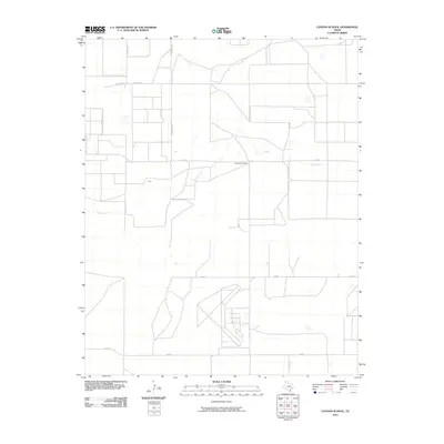
2010 Map of Canyon School
USGS Topo · Published 2010About this map
Canyon School stands as a primary landmark in this rural expanse of Hartley County, situated near the intersection of FM 1727 and Brorman Rd. The landscape is defined by a grid of agricultural and access roads, including Newman Rd, Richards Rd, and Kelly Rd, which facilitate movement across the open plains. The natural drainage of the area is carved by Carrizo Creek, which winds generally eastward through the central portion of the territory. This 2010 survey reflects a contemporary look at the ranching and farming infrastructure of the Texas Panhandle, where long, straight road segments like Co Rd B and FM 694 mark the high-plains topography.
Find a feature on this map
11 named features on this map. Tap any name to fly to it.
Don’t see what you’re looking for? This feature index may not catch every label — zoom into the map to look around manually.
Map Details
Editions of this 2010 Canyon School Map
This is the sole edition of this map. No revisions or reprints were ever made.
Other maps of this area

1954 · Tucumcari
USGS Topo · 1:250,000

1954 · Dalhart
USGS Topo · 1:250,000

1958 · Tucumcari
USGS Topo · 1:250,000

1958 · Dalhart
USGS Topo · 1:250,000

1962 · Dalhart
USGS Topo · 1:250,000

1971 · Syndicate Hills
USGS Topo · 1:24,000

1973 · Pardue Camp
USGS Topo · 1:24,000

1973 · Wharton Ranch
USGS Topo · 1:24,000

1973 · King
USGS Topo · 1:24,000

1973 · Canyon School
USGS Topo · 1:24,000