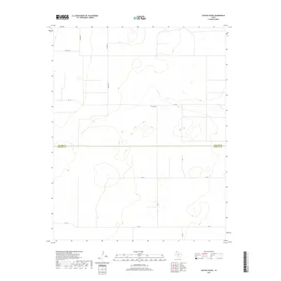
2019 Map of Canyon School
USGS Topo · Published 2019About this map
The high plains of the Texas Panhandle define this landscape where the Dallam Co Hartley Co line runs through open cattle country. The terrain is marked by the winding course of Carrizo Cr, which cuts through the northern half of the area. This 2019 survey documents a sparsely populated rural district centered on the landmark Canyon School, a point of reference for the surrounding ranching community.
Find a feature on this map
12 named features on this map. Tap any name to fly to it.
Don’t see what you’re looking for? This feature index may not catch every label — zoom into the map to look around manually.
Map Details
Editions of this 2019 Canyon School Map
This is the sole edition of this map. No revisions or reprints were ever made.
Other maps of this area

1954 · Tucumcari
USGS Topo · 1:250,000

1954 · Dalhart
USGS Topo · 1:250,000

1958 · Tucumcari
USGS Topo · 1:250,000

1958 · Dalhart
USGS Topo · 1:250,000

1962 · Dalhart
USGS Topo · 1:250,000

1971 · Syndicate Hills
USGS Topo · 1:24,000

1973 · Pardue Camp
USGS Topo · 1:24,000

1973 · Wharton Ranch
USGS Topo · 1:24,000

1973 · King
USGS Topo · 1:24,000

1973 · Canyon School
USGS Topo · 1:24,000