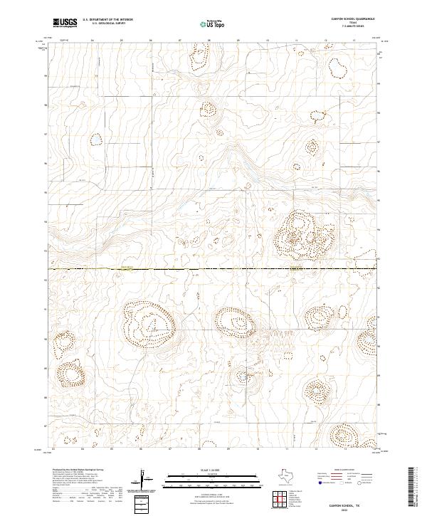
2022 Map of Canyon School
USGS Topo · Published 2022About this map
The high plains along the boundary of Dallam and Hartley counties are defined by the winding course of Carrizo Creek. This Texas Panhandle landscape is primarily characterized by its vast agricultural and grazing lands, partitioned by a rigid grid of rural roads. Important local thoroughfares like FM 1727 and FM 694 provide the primary east-west connectivity across the terrain, while family-named routes such as Brorman Rd and Newman Rd hint at the generational ranching and farming history of the region. The map captures the quiet, open character of the Llano Estacado, where the few named geographic features like Richards Ln and Co Rd D serve as the primary landmarks for local navigation and land ownership.
Find a feature on this map
10 named features on this map. Tap any name to fly to it.
Don’t see what you’re looking for? This feature index may not catch every label — zoom into the map to look around manually.
Map Details
Editions of this 2022 Canyon School Map
This is the sole edition of this map. No revisions or reprints were ever made.
Other maps of this area

1954 · Tucumcari
USGS Topo · 1:250,000

1954 · Dalhart
USGS Topo · 1:250,000

1958 · Tucumcari
USGS Topo · 1:250,000

1958 · Dalhart
USGS Topo · 1:250,000

1962 · Dalhart
USGS Topo · 1:250,000

1971 · Syndicate Hills
USGS Topo · 1:24,000

1973 · Pardue Camp
USGS Topo · 1:24,000

1973 · Wharton Ranch
USGS Topo · 1:24,000

1973 · King
USGS Topo · 1:24,000

1973 · Canyon School
USGS Topo · 1:24,000