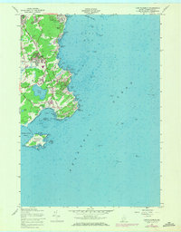
1957 Map of Cape Elizabeth
USGS Topo · Published 1971About this map
Fort Williams and the iconic Portland Head Lighthouse anchor the northern coastline of this peninsula, where the Atlantic meets the entrance to Portland Harbor. The landscape transitioned during the mid-20th century from maritime outposts and small coastal hamlets to more developed residential enclaves like Delano Park, Shore Acres, and Elizabeth Park. Moving south along the rugged shore, the map reveals a complex network of maritime hazards and landings, from Pond Cove and Smugglers Cove to the hazardous Trundy Point. Inland, the area maintains a rural-residential character with the Cape Elizabeth Church and the winding Spurwink River forming a natural western boundary. To the south, Richmond Island sits off the coast, separated from the mainland by the Richmond Island Harbor, serving as a silent witness to centuries of coastal navigation and trade.
Find a feature on this map
87 named features on this map. Tap any name to fly to it.
Don’t see what you’re looking for? This feature index may not catch every label — zoom into the map to look around manually.
Map Details
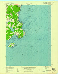
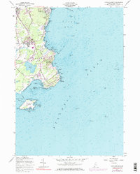
Editions of this 1957 Cape Elizabeth Map
3 editions found
Other maps of this area

1891 · Portland
USGS Topo · 1:62,500

1891 · Biddeford
USGS Topo · 1:62,500

1893 · Biddeford
USGS Topo · 1:62,500

1893 · Portland
USGS Topo · 1:62,500

1893 · Casco Bay
USGS Topo · 1:62,500

1914 · Portland
USGS Topo · 1:48,000

1914 · Casco Bay
USGS Topo · 1:48,000

1916 · Portland
USGS Topo · 1:62,500

1916 · Casco Bay
USGS Topo · 1:62,500

1916 · Portland And Vicinity
USGS Topo · 1:62,500