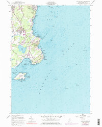
1957 Map of Cape Elizabeth
USGS Topo · Published 1984About this map
Fort Williams and the legendary Portland Head Lighthouse dominate the northeastern shoreline of this coastal Maine landscape, marking the entrance to Casco Bay near the South Portland city boundary. The interior reveals a established coastal community defined by early road networks like Ocean House Road and Bowery Beach Road, which connect local landmarks such as Great Pond and the Cape Elizabeth Church.
Find a feature on this map
85 named features on this map. Tap any name to fly to it.
Don’t see what you’re looking for? This feature index may not catch every label — zoom into the map to look around manually.
Map Details
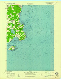
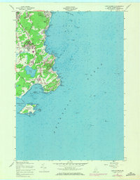
Editions of this 1957 Cape Elizabeth Map
3 editions found
Other maps of this area

1891 · Portland
USGS Topo · 1:62,500

1891 · Biddeford
USGS Topo · 1:62,500

1893 · Biddeford
USGS Topo · 1:62,500

1893 · Portland
USGS Topo · 1:62,500

1893 · Casco Bay
USGS Topo · 1:62,500

1914 · Portland
USGS Topo · 1:48,000

1914 · Casco Bay
USGS Topo · 1:48,000

1916 · Portland
USGS Topo · 1:62,500

1916 · Casco Bay
USGS Topo · 1:62,500

1916 · Portland And Vicinity
USGS Topo · 1:62,500