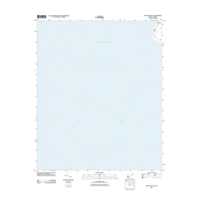
2011 Map of Cape Fear OE W
USGS Topo · Published 2011About this map
The Atlantic Ocean dominates this coastal survey, focusing on the southern tip of the North Carolina shoreline. Most of the map area is open water, with the terrestrial portion limited to the extreme northeast corner. This terrestrial area features the settlement of Bald Head, characterized by its winding residential streets and coastal environment. Standing as a prominent landmark at this maritime junction is the Bald Head Lighthouse, which serves as a critical navigational reference point for the surrounding waters. The topography is minimal, with the map primarily documenting the coastal configuration and navigational aids at this specific point on the Cape Fear coastline during the early twenty-first century.
Find a feature on this map
3 named features on this map. Tap any name to fly to it.
Don’t see what you’re looking for? This feature index may not catch every label — zoom into the map to look around manually.
Map Details
Editions of this 2011 Cape Fear OE W Map
This is the sole edition of this map. No revisions or reprints were ever made.
Other maps of this area

1942 · Cape Fear
USGS Topo · 1:24,000

1943 · Lockwoods Folly
USGS Topo · 1:24,000

1944 · Lockwoods Folly
USGS Topo · 1:31,680

1946 · Southport
USGS Topo · 1:24,000

1946 · Snow Marsh
USGS Topo · 1:24,000

1949 · Georgetown
USGS Topo · 1:250,000

1967 · Georgetown
USGS Topo · 1:250,000
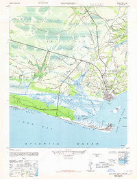
1969 · Southport
USGS Topo · 1:24,000
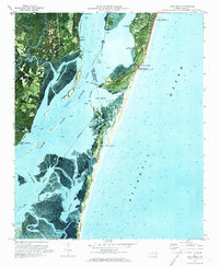
1970 · Kure Beach
USGS Topo · 1:24,000
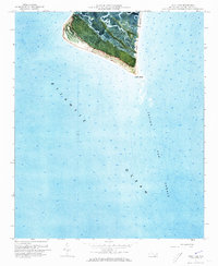
1970 · Cape Fear
USGS Topo · 1:24,000