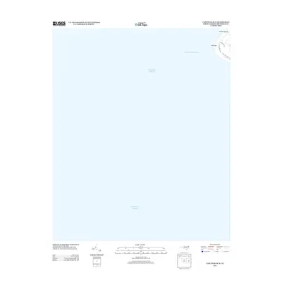
2013 Map of Cape Fear OE W
USGS Topo · Published 2013About this map
Bald Head Lighthouse stands as the primary landmark on this coastal sheet, situated on the extreme northeastern edge of the quadrangle. The map is dominated by the expanse of the Atlantic Ocean, illustrating the isolated maritime character of Bald Head. The small network of residential roads, including W Bald Head Wynd and S Bald Head Wynd, indicates the modern development pattern of the island. Maritime navigation is reflected by the Bald Head Channel Range, marking the critical approach to the Cape Fear River mouth. This 2013 survey provides a clear view of the shifting sands and coastal infrastructure at the southern tip of North Carolina before subsequent decades of tidal influence.
Find a feature on this map
7 named features on this map. Tap any name to fly to it.
Don’t see what you’re looking for? This feature index may not catch every label — zoom into the map to look around manually.
Map Details
Editions of this 2013 Cape Fear OE W Map
This is the sole edition of this map. No revisions or reprints were ever made.
Other maps of this area

1942 · Cape Fear
USGS Topo · 1:24,000

1943 · Lockwoods Folly
USGS Topo · 1:24,000

1944 · Lockwoods Folly
USGS Topo · 1:31,680

1946 · Southport
USGS Topo · 1:24,000

1946 · Snow Marsh
USGS Topo · 1:24,000

1949 · Georgetown
USGS Topo · 1:250,000

1967 · Georgetown
USGS Topo · 1:250,000
1969 · Southport
USGS Topo · 1:24,000
1970 · Kure Beach
USGS Topo · 1:24,000
1970 · Cape Fear
USGS Topo · 1:24,000