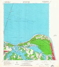
1964 Map of Cape Henry
USGS Topo · Published 1967About this map
Cape Henry serves as the sentinel of the Chesapeake Bay, where the Atlantic Ocean meets the historic Lynnhaven Roads. This mid-century survey captures a landscape of maritime transition and rapid suburban development. Coastal infrastructure is dominated by the Chesapeake Bay Bridge-Tunnel, including North Thimble Island and South Thimble Island, while the ancient navigational landmarks of Old Cape Henry LH and the newer Cape Henry LH stand near the Cape Henry Memorial Mon.
Find a feature on this map
81 named features on this map. Tap any name to fly to it.
Don’t see what you’re looking for? This feature index may not catch every label — zoom into the map to look around manually.
Map Details
Editions of this 1964 Cape Henry Map
5 editions found

Other maps of this area

1893 · Virginia Beach
USGS Topo · 1:125,000

1907 · Norfolk
USGS Topo · 1:125,000

1918 · Cape Henry
USGS Topo · 1:62,500

1919 · Cape Henry
USGS Topo · 1:62,500

1943 · Richmond
USGS Topo · 1:250,000

1946 · Eastville
USGS Topo · 1:250,000

1946 · Currituck Sound
USGS Topo · 1:250,000

1948 · Ocean View
USGS Topo · 1:24,000
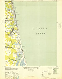
1948 · Virginia Beach
USGS Topo · 1:24,000
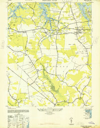
1948 · Princess Anne
USGS Topo · 1:24,000