
1964 Map of Cape Henry
USGS Topo · Published 1980About this map
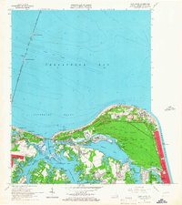
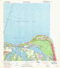
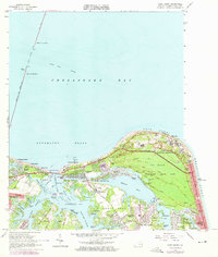
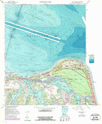
Fort Story Military Reservation and the sprawling Seashore State Park dominate the landscape at this strategic coastal point where the Chesapeake Bay meets the Atlantic. The survey illustrates a period of significant suburban expansion in the 1960s and 1970s, as residential developments like Great Neck Estates, Lynnhaven Colony, and Broad Bay Colony fill the wooded peninsulas of Great Neck and Little Neck.
Find a feature on this map
93 named features on this map. Tap any name to fly to it.
Don’t see what you’re looking for? This feature index may not catch every label — zoom into the map to look around manually.
Map Details
Editions of this 1964 Cape Henry Map
5 editions found
Other maps of this area

1893 · Virginia Beach
USGS Topo · 1:125,000

1907 · Norfolk
USGS Topo · 1:125,000

1918 · Cape Henry
USGS Topo · 1:62,500

1919 · Cape Henry
USGS Topo · 1:62,500

1943 · Richmond
USGS Topo · 1:250,000

1946 · Eastville
USGS Topo · 1:250,000

1946 · Currituck Sound
USGS Topo · 1:250,000

1948 · Ocean View
USGS Topo · 1:24,000
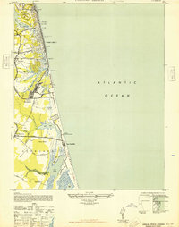
1948 · Virginia Beach
USGS Topo · 1:24,000
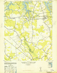
1948 · Princess Anne
USGS Topo · 1:24,000