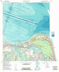
1964 Map of Cape Henry
USGS Topo · Published 1987About this map
Cape Henry serves as the focal point for this coastal survey, where the Atlantic Ocean meets the Chesapeake Bay. The landscape is defined by the massive Fort Story Military Reservation and the sprawling acreage of Seashore State Park, featuring a complex network of internal paths like the Osmanthus Trail and Lagoon Trail. Along the northern shore, the Chesapeake Bay Bridge-Tunnel reaches out across the Thimble Shoal Channel via North Thimble Island and South Thimble Island.
Find a feature on this map
91 named features on this map. Tap any name to fly to it.
Don’t see what you’re looking for? This feature index may not catch every label — zoom into the map to look around manually.
Map Details
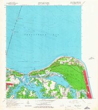
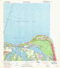
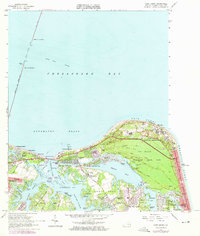
Editions of this 1964 Cape Henry Map
5 editions found

Other maps of this area

1893 · Virginia Beach
USGS Topo · 1:125,000

1907 · Norfolk
USGS Topo · 1:125,000

1918 · Cape Henry
USGS Topo · 1:62,500

1919 · Cape Henry
USGS Topo · 1:62,500

1943 · Richmond
USGS Topo · 1:250,000

1946 · Eastville
USGS Topo · 1:250,000

1946 · Currituck Sound
USGS Topo · 1:250,000

1948 · Ocean View
USGS Topo · 1:24,000
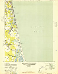
1948 · Virginia Beach
USGS Topo · 1:24,000
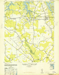
1948 · Princess Anne
USGS Topo · 1:24,000