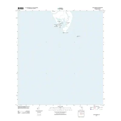
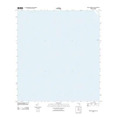
2012 Map of Cape Romano
USGS Topo · Published 2012About this map
Cape Romano and its surrounding archipelago define this coastal survey of the southern tip of Collier County. The landscape is a complex network of mangrove keys and tidal passages, including Morgan Pass and the Morgan River. The map illustrates the shifting geography of the Ten Thousand Islands region, where landforms like Kice Island, Big Morgan Island, and Cape Romano Island meet the open waters of the Gulf of Mexico. Smaller features such as Rousse Key, Rosse Key, and Carr Island dot the interior bays. This detailed hydrographic record from the U.S. Geological Survey documents the exact shoreline positions and named shoals, providing a baseline for understanding coastal erosion and the evolving maritime environment of the Florida Gulf Coast.
Find a feature on this map
18 named features on this map. Tap any name to fly to it.
Don’t see what you’re looking for? This feature index may not catch every label — zoom into the map to look around manually.
Map Details
Editions of this 2012 Cape Romano Map
This is the sole edition of this map. No revisions or reprints were ever made.
Other maps of this area

1956 · Miami
USGS Topo · 1:250,000

1958 · Miami
USGS Topo · 1:250,000

1973 · Cape Romano
USGS Topo · 1:24,000

1973 · Marco Island
USGS Topo · 1:24,000
1973 · Royal Palm Hammock
USGS Topo · 1:24,000
1974 · Panther Key
USGS Topo · 1:24,000

1982 · Everglades City
USGS Topo · 1:100,000

1988 · Miami
USGS Topo · 1:250,000
1995 · Marco Island
USGS Topo · 1:24,000
2012 · Marco Island OE W
USGS Topo · 1:24,000