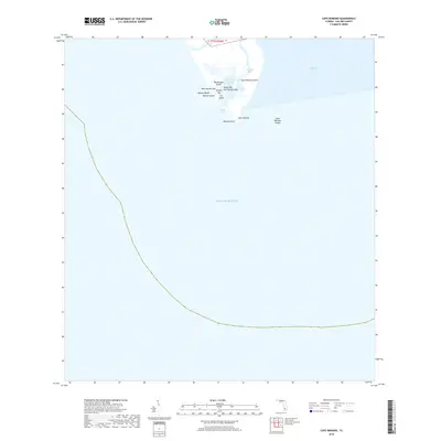
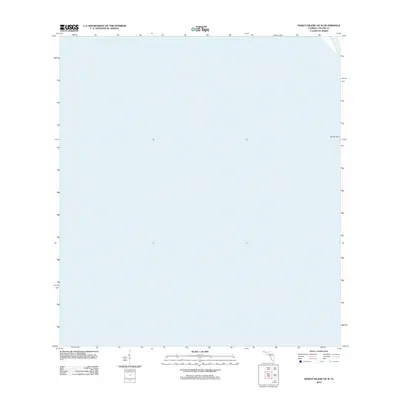
2018 Map of Cape Romano
USGS Topo · Published 2018About this map
Cape Romano and its surrounding archipelago of mangrove islands define the southern edge of Collier County in this recent coastal survey. The map details the complex hydrography of the Ten Thousand Islands area, where the Morgan River empties into Morgan Bay before passing through Morgan Pass to reach the Gulf of Mexico. The landforms here are highly dynamic, consisting of various keys and points such as Big Morgan Island, Rosse Key, and Carr Island. To the east, the waters of Gullivan Bay meet the land at Cape Romano Island. This survey captures the shifting shoreline and offshore hazards like the Cape Romano Shoals, providing a precise look at the uninhabited wilderness of the Florida Gulf coast.
Find a feature on this map
18 named features on this map. Tap any name to fly to it.
Don’t see what you’re looking for? This feature index may not catch every label — zoom into the map to look around manually.
Map Details
Editions of this 2018 Cape Romano Map
This is the sole edition of this map. No revisions or reprints were ever made.
Other maps of this area

1956 · Miami
USGS Topo · 1:250,000

1958 · Miami
USGS Topo · 1:250,000

1973 · Cape Romano
USGS Topo · 1:24,000

1973 · Marco Island
USGS Topo · 1:24,000
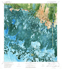
1973 · Royal Palm Hammock
USGS Topo · 1:24,000
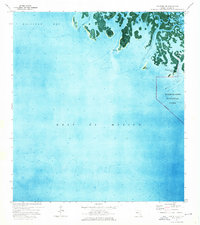
1974 · Panther Key
USGS Topo · 1:24,000

1982 · Everglades City
USGS Topo · 1:100,000

1988 · Miami
USGS Topo · 1:250,000
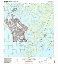
1995 · Marco Island
USGS Topo · 1:24,000
2012 · Marco Island OE W
USGS Topo · 1:24,000