
1973 Map of Cape Romano
USGS Topo · Published 1976About this map
Cape Romano serves as the focal point of this coastal orthophotomap, documenting the shifting barrier islands and shallow waters of southwest Florida in the early 1970s. This hybrid topographic and photographic study provides a detailed view of the intricate estuarine environment where Gullivan Bay meets the open Gulf of Mexico. The landscape is dominated by a chain of mangroves and sandy outcroppings, including Kice Island, Morgan Island, and Big Morgan Island. These landforms are separated by tidal inlets like Blind Pass and Morgan Pass, illustrating the dynamic nature of the coastline before further modern development. Offshore, the hazardous underwater topography of the Cape Romano Shoals is carefully delineated with depth curves, highlighting the navigational challenges that have historically defined this reach of the Collier County coast.
Find a feature on this map
13 named features on this map. Tap any name to fly to it.
Don’t see what you’re looking for? This feature index may not catch every label — zoom into the map to look around manually.
Map Details
Editions of this 1973 Cape Romano Map
This is the sole edition of this map. No revisions or reprints were ever made.
Other maps of this area

1956 · Miami
USGS Topo · 1:250,000

1958 · Miami
USGS Topo · 1:250,000

1973 · Marco Island
USGS Topo · 1:24,000
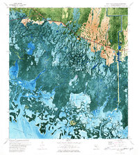
1973 · Royal Palm Hammock
USGS Topo · 1:24,000
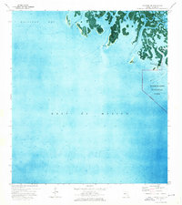
1974 · Panther Key
USGS Topo · 1:24,000

1982 · Everglades City
USGS Topo · 1:100,000

1988 · Miami
USGS Topo · 1:250,000
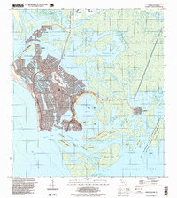
1995 · Marco Island
USGS Topo · 1:24,000
2012 · Marco Island OE W
USGS Topo · 1:24,000
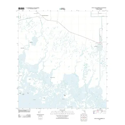
2012 · Royal Palm Hammock
USGS Topo · 1:24,000