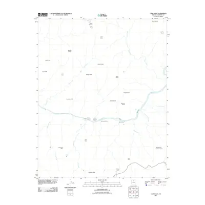
2011 Map of Cape Royal
USGS Topo · Published 2011About this map
The Colorado River carves a deep path through the center of this 2011 survey, defining a landscape of immense verticality and storied geographic naming. Navigation along the water is marked by treacherous stretches including Sockdolager Rapids, Hance Rapids, and Nevills Rapids, where the river's descent is most pronounced. The naming conventions of the surrounding buttes and temples, such as Vishnu Temple, Wotans Throne, and Krishna Shrine, reflect the early 20th-century tradition of assigning mythological and theological identifiers to these landforms. Sources of water are scarce above the river level, noted only at isolated spots like Cliff Spring and Page Spring. Along the southern rim, significant overlooks including Zuni Point and Moran Point provide vantage points over the complex drainages of Asbestos Canyon and Mineral Canyon, illustrating the intense erosion that has shaped this part of Coconino County.
Find a feature on this map
41 named features on this map. Tap any name to fly to it.
Don’t see what you’re looking for? This feature index may not catch every label — zoom into the map to look around manually.
Map Details
Editions of this 2011 Cape Royal Map
This is the sole edition of this map. No revisions or reprints were ever made.
Other maps of this area

1886 · San Francisco Mtns
USGS Topo · 1:250,000

1886 · Chino
USGS Topo · 1:250,000

1886 · Echo Cliffs
USGS Topo · 1:250,000

1886 · Kaibab
USGS Topo · 1:250,000

1891 · San Francisco Mtns
USGS Topo · 1:250,000

1891 · Chino
USGS Topo · 1:250,000

1891 · Echo Cliffs
USGS Topo · 1:250,000

1894 · San Francisco Mtns
USGS Topo · 1:250,000

1899 · San Francisco Mtns
USGS Topo · 1:250,000

1903 · Bright Angel
USGS Topo · 1:48,000