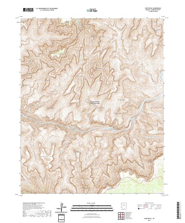
2021 Map of Cape Royal
USGS Topo · Published 2021About this map
Grand Canyon National Park terrain is meticulously documented in this 2021 study, focusing on the vertical drama of the inner canyon south of the Walhalla Plateau. The landscape is dominated by massive, named formations such as Wotans Throne and Vishnu Temple, rising between deep drainages like Vishnu Cr and Asbestos Canyon. Along the winding course of the Colorado River, the map traces the narrow passage through Granite Gorge, where numerous side canyons like Mineral Canyon and Red Canyon intersect the river corridor.
Find a feature on this map
56 named features on this map. Tap any name to fly to it.
Don’t see what you’re looking for? This feature index may not catch every label — zoom into the map to look around manually.
Map Details
Editions of this 2021 Cape Royal Map
This is the sole edition of this map. No revisions or reprints were ever made.
Other maps of this area

1886 · San Francisco Mtns
USGS Topo · 1:250,000

1886 · Chino
USGS Topo · 1:250,000

1886 · Echo Cliffs
USGS Topo · 1:250,000

1886 · Kaibab
USGS Topo · 1:250,000

1891 · San Francisco Mtns
USGS Topo · 1:250,000

1891 · Chino
USGS Topo · 1:250,000

1891 · Echo Cliffs
USGS Topo · 1:250,000

1894 · San Francisco Mtns
USGS Topo · 1:250,000

1899 · San Francisco Mtns
USGS Topo · 1:250,000

1903 · Bright Angel
USGS Topo · 1:48,000