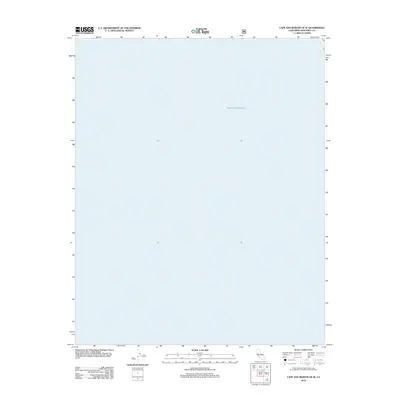
2012 Map of Cape San Martin OE W
USGS Topo · Published 2012About this map
The Pacific Ocean occupies the entirety of this coastal quadrangle off the shores of Monterey County. As an offshore mapping segment, the sheet provides a precise hydrographic record of the open waters just west of the central California coast. The lack of terrestrial features emphasizes the maritime focus of the survey, capturing the nautical character of the region as it was documented in 2012. This specific map serves as a spatial reference for the deep-water approaches to the Big Sur coastline, where the rugged seafloor topography begins its ascent toward the shore just beyond the eastern boundary of this sheet.
Find a feature on this map
1 named feature on this map. Tap any name to fly to it.
Don’t see what you’re looking for? This feature index may not catch every label — zoom into the map to look around manually.
Map Details
Editions of this 2012 Cape San Martin OE W Map
This is the sole edition of this map. No revisions or reprints were ever made.
Other maps of this area

1919 · Junipero Serra
USGS Topo · 1:62,500

1921 · Cape San Martin
USGS Topo · 1:62,500

1921 · Lucia
USGS Topo · 1:62,500

1941 · Cape San Martin
USGS Topo · 1:62,500

1941 · Lucia
USGS Topo · 1:62,500

1941 · Junipero Serra
USGS Topo · 1:62,500

1942 · Cape San Martin
USGS Topo · 1:62,500

1947 · Lucia
USGS Topo · 1:62,500

1947 · San Luis Obispo
USGS Topo · 1:250,000

1948 · Santa Cruz
USGS Topo · 1:250,000