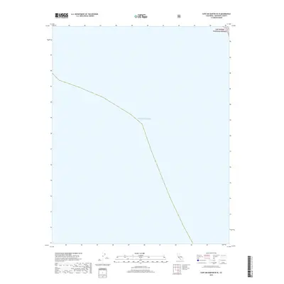
2018 Map of Cape San Martin OE W
USGS Topo · Published 2018About this map
Pacific Ocean waters dominate this coastal survey, which documents the remote marine interface of Monterey County. The map provides a precise look at the jurisdictional boundary of the Los Padres National Forest where it meets the coastline. As part of the 2018 US Topo series, this sheet focuses primarily on the maritime environment and the federally protected forest lands that border the California coast. The lack of terrestrial settlements or named landmarks highlights the wild, undeveloped character of this specific stretch of the shoreline.
Find a feature on this map
2 named features on this map. Tap any name to fly to it.
Don’t see what you’re looking for? This feature index may not catch every label — zoom into the map to look around manually.
Map Details
Editions of this 2018 Cape San Martin OE W Map
This is the sole edition of this map. No revisions or reprints were ever made.
Other maps of this area

1919 · Junipero Serra
USGS Topo · 1:62,500

1921 · Cape San Martin
USGS Topo · 1:62,500

1921 · Lucia
USGS Topo · 1:62,500

1941 · Cape San Martin
USGS Topo · 1:62,500

1941 · Lucia
USGS Topo · 1:62,500

1941 · Junipero Serra
USGS Topo · 1:62,500

1942 · Cape San Martin
USGS Topo · 1:62,500

1947 · Lucia
USGS Topo · 1:62,500

1947 · San Luis Obispo
USGS Topo · 1:250,000

1948 · Santa Cruz
USGS Topo · 1:250,000