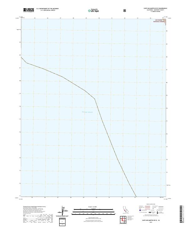
2021 Map of Cape San Martin OE W
USGS Topo · Published 2021About this map
Pacific Ocean swells dominate the majority of this coastal survey along the Monterey County shoreline. The map focuses on the offshore waters and the immediate maritime boundary where the sea meets the steep, rising slopes of the Santa Lucia Range. Only a small sliver of land is visible in the northeastern corner of the sheet, where the terrestrial landscape begins within the Los Padres National Forest. This particular quadrangle emphasizes the transition from the marine environment to the coastal wilderness, serving as a specialized record of the coastline's geometry in the early twenty-first century. The absence of roads or structures highlights the isolated nature of this specific stretch of the California coast, where the protected lands of the national forest provide a buffer between the shoreline and the interior mountains.
Find a feature on this map
2 named features on this map. Tap any name to fly to it.
Don’t see what you’re looking for? This feature index may not catch every label — zoom into the map to look around manually.
Map Details
Editions of this 2021 Cape San Martin OE W Map
This is the sole edition of this map. No revisions or reprints were ever made.
Other maps of this area

1919 · Junipero Serra
USGS Topo · 1:62,500

1921 · Cape San Martin
USGS Topo · 1:62,500

1921 · Lucia
USGS Topo · 1:62,500

1941 · Cape San Martin
USGS Topo · 1:62,500

1941 · Lucia
USGS Topo · 1:62,500

1941 · Junipero Serra
USGS Topo · 1:62,500

1942 · Cape San Martin
USGS Topo · 1:62,500

1947 · Lucia
USGS Topo · 1:62,500

1947 · San Luis Obispo
USGS Topo · 1:250,000

1948 · Santa Cruz
USGS Topo · 1:250,000