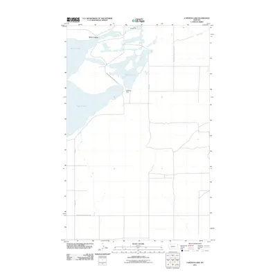
2011 Map of Capeneys Lake
USGS Topo · Published 2011About this map
Medicine Lake Natl Wildl Refuge dominates this section of Roosevelt County, Montana, providing a detailed look at the complex hydrography of the High Plains. Central to the landscape is the expansive Medicine Lake, flanked by the smaller Capeneys Lake and a series of smaller ponds and marshlands managed for migratory bird habitat. The terrain transition is marked by the Sandhills to the east and the narrow Gaffeney Pass between the larger water bodies.
Find a feature on this map
12 named features on this map. Tap any name to fly to it.
Don’t see what you’re looking for? This feature index may not catch every label — zoom into the map to look around manually.
Map Details
Editions of this 2011 Capeneys Lake Map
This is the sole edition of this map. No revisions or reprints were ever made.
Other maps of this area

1946 · Dagmar
USGS Topo · 1:24,000

1947 · Capeneys Lake
USGS Topo · 1:24,000

1948 · Capeneys Lake
USGS Topo · 1:24,000

1948 · Dagmar
USGS Topo · 1:24,000

1948 · Reserve SE
USGS Topo · 1:24,000

1948 · Sunnyhill School
USGS Topo · 1:24,000

1948 · Medicine Lake
USGS Topo · 1:24,000

1948 · Reserve
USGS Topo · 1:24,000

1949 · Reserve SE
USGS Topo · 1:24,000

1949 · Sunnyhill School
USGS Topo · 1:24,000