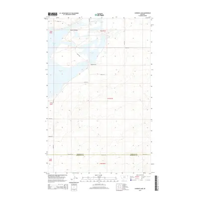
2014 Map of Capeneys Lake
USGS Topo · Published 2014About this map
Medicine Lake dominates the northwestern portion of this 2014 survey, illustrating a landscape defined by expansive water bodies and glacial features at the border of Roosevelt and Sheridan counties. The area is characterized by low-lying wetlands and seasonal drainages, including the eastern reaches of Capeneys Lake and the winding course of Lake Creek. Significant local transit and historical passage points are documented, such as the Rock Crossing and Gaffney Pass, which likely indicate established routes across the varied terrain of the High Plains.
Find a feature on this map
20 named features on this map. Tap any name to fly to it.
Don’t see what you’re looking for? This feature index may not catch every label — zoom into the map to look around manually.
Map Details
Editions of this 2014 Capeneys Lake Map
This is the sole edition of this map. No revisions or reprints were ever made.
Other maps of this area

1946 · Dagmar
USGS Topo · 1:24,000

1947 · Capeneys Lake
USGS Topo · 1:24,000

1948 · Capeneys Lake
USGS Topo · 1:24,000

1948 · Dagmar
USGS Topo · 1:24,000

1948 · Reserve SE
USGS Topo · 1:24,000

1948 · Sunnyhill School
USGS Topo · 1:24,000

1948 · Medicine Lake
USGS Topo · 1:24,000

1948 · Reserve
USGS Topo · 1:24,000

1949 · Reserve SE
USGS Topo · 1:24,000

1949 · Sunnyhill School
USGS Topo · 1:24,000