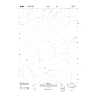
2011 Map of Capitol Peak
USGS Topo · Published 2011About this map
Capitol Peak and Mount Daly anchor this high-elevation landscape in Pitkin County, defined by a complex network of glacial cirques and alpine drainages. The area is characterized by its significant hydrological features, including the Pierre Lakes and Avalanche Lake, which feed the various forks of Avalanche Creek and Capitol Creek. Human activity is marked by resource management and recreation, evidenced by the Elk Creek Ditch and the Elk Creek Number 2 Dam in the north. The presence of the Avalanche Mine near the western boundary points to the region's mineral history, while the Snowmass Falls Ranch represents one of the few named settlements in this otherwise wilderness-dominated terrain. High passes like Heckert Pass suggest the traditional transit routes through these peaks.
Find a feature on this map
27 named features on this map. Tap any name to fly to it.
Don’t see what you’re looking for? This feature index may not catch every label — zoom into the map to look around manually.
Map Details
Editions of this 2011 Capitol Peak Map
This is the sole edition of this map. No revisions or reprints were ever made.
Other maps of this area

1893 · Aspen
USGS Topo · 1:62,500

1895 · Aspen
USGS Topo · 1:62,500

1909 · Mount Jackson
USGS Topo · 1:125,000

1911 · Mount Jackson
USGS Topo · 1:125,000

1957 · Leadville
USGS Topo · 1:250,000

1959 · Leadville
USGS Topo · 1:250,000

1960 · Leadville
USGS Topo · 1:250,000

1960 · Marble
USGS Topo · 1:24,000

1960 · Highland Peak
USGS Topo · 1:24,000

1960 · Maroon Bells
USGS Topo · 1:24,000