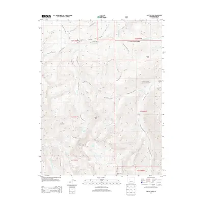
2013 Map of Capitol Peak
USGS Topo · Published 2013About this map
Capitol Peak and the surrounding Elk Mountains dominate this high-altitude landscape within the White River National Forest. The map documents an intricate network of named trails used to navigate the sharp topography, including the Maroon Snowmass Trail 1975.1 and Avalanche Creek Trail 1959.1. These paths connect remote alpine features such as Capitol Lake, Pierre Lakes, and the high crossing at Heckert Pass.
Find a feature on this map
48 named features on this map. Tap any name to fly to it.
Don’t see what you’re looking for? This feature index may not catch every label — zoom into the map to look around manually.
Map Details
Editions of this 2013 Capitol Peak Map
This is the sole edition of this map. No revisions or reprints were ever made.
Other maps of this area

1893 · Aspen
USGS Topo · 1:62,500

1895 · Aspen
USGS Topo · 1:62,500

1909 · Mount Jackson
USGS Topo · 1:125,000

1911 · Mount Jackson
USGS Topo · 1:125,000

1957 · Leadville
USGS Topo · 1:250,000

1959 · Leadville
USGS Topo · 1:250,000

1960 · Leadville
USGS Topo · 1:250,000

1960 · Marble
USGS Topo · 1:24,000

1960 · Highland Peak
USGS Topo · 1:24,000

1960 · Maroon Bells
USGS Topo · 1:24,000