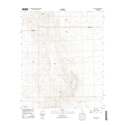
2013 Map of Capitol Peak
USGS Topo · Published 2013About this map
Capitol Peak dominates the southern landscape of this high-desert quadrangle, anchored within the San Andres Mountains of southern New Mexico. This 2013 survey illustrates a landscape defined by dramatic elevation changes and essential water management features, including Capitol Peak Tank, Line Tank, and the CCC Tank. The terrain transitions from the high ridges of Johnson Park in the north down toward the Tularosa Valley.
Find a feature on this map
22 named features on this map. Tap any name to fly to it.
Don’t see what you’re looking for? This feature index may not catch every label — zoom into the map to look around manually.
Map Details
Editions of this 2013 Capitol Peak Map
This is the sole edition of this map. No revisions or reprints were ever made.
Other maps of this area

1916 · Salinas Peak
USGS Topo · 1:125,000

1916 · Tularosa
USGS Topo · 1:125,000

1918 · Oscura Peak
USGS Topo · 1:125,000

1947 · Capitol Peak
USGS Topo · 1:62,500

1948 · Granjean Well
USGS Topo · 1:62,500

1948 · Mockingbird Gap
USGS Topo · 1:62,500

1948 · Salinas Peak
USGS Topo · 1:62,500

1954 · Tularosa
USGS Topo · 1:250,000

1958 · Tularosa
USGS Topo · 1:250,000

1981 · Fairview Mountain
USGS Topo · 1:24,000