2022 Map of Capron
USGS Topo · Published 2022About this map
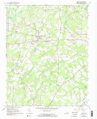
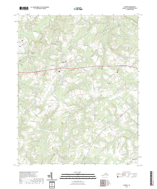
Capron stands at the center of this rural Southampton County landscape, where agriculture and hydrology define the community's layout. The settlement patterns of the early 21st century are closely tied to the winding paths of Buckhorn Swamp and Sweat Swamp, which drain the low-lying terrain into larger systems like Three Creek. Smaller named locations such as Worrell, Angelico, and Pope are connected by a network of established local routes, including Old Belfield Rd and Carys Bridge Rd. For genealogists and local historians, the map provides precise locations for the Capron Cem and the Bryant Baptist Church Cem, while the southern reaches near Newsoms reveal the continued importance of water features like Princes Pond and Tarrara Cr to the local geography.
Find a feature on this map
61 named features on this map. Tap any name to fly to it.
Don’t see what you’re looking for? This feature index may not catch every label — zoom into the map to look around manually.
Map Details
Editions of this 2022 Capron Map
This is the sole edition of this map. No revisions or reprints were ever made.