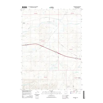
2015 Map of Careyhurst
USGS Topo · Published 2015About this map
Careyhurst and Clayton anchor this Converse County landscape where the North Platte River winds through the northern plains. The map reveals a complex network of ranching and water management, evidenced by numerous irrigation and stock structures such as Abney Number 1 Reservoir, Little Boxelder Number 1 Reservoir, and West Side Reservoir Number 1. This water infrastructure supports the cattle and hay production vital to the region's economy, while the Chamberlain Brothers Ranch Airport indicates the scale and modernity of local agricultural operations.
Find a feature on this map
29 named features on this map. Tap any name to fly to it.
Don’t see what you’re looking for? This feature index may not catch every label — zoom into the map to look around manually.
Map Details
Editions of this 2015 Careyhurst Map
This is the sole edition of this map. No revisions or reprints were ever made.
Other maps of this area

1949 · Orpha
USGS Topo · 1:24,000

1949 · Careyhurst
USGS Topo · 1:24,000

1949 · Gilbert Lake
USGS Topo · 1:24,000

1949 · Glenrock
USGS Topo · 1:24,000

1949 · Leuenberger Ranch
USGS Topo · 1:24,000

1949 · Hylton Ranch
USGS Topo · 1:24,000

1950 · Careyhurst
USGS Topo · 1:24,000

1950 · Gilbert Lake
USGS Topo · 1:24,000

1950 · Leuenberger Ranch
USGS Topo · 1:24,000

1950 · Orpha
USGS Topo · 1:24,000