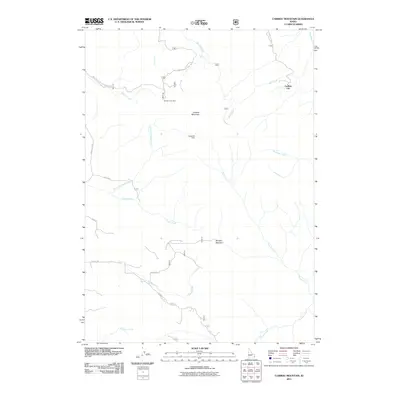
2011 Map of Caribou Mountain
USGS Topo · Published 2011About this map
Caribou Mountain anchors this high-elevation landscape in Bonneville County, where the mining legacy of the Caribou District remains etched into the terrain. Two notable sites, the Monte Cristo Mine and Evergreen Mine, are located on the western slopes, reflecting the area's history of extraction. The settlement of Caribou City sits to the northeast along Bilk Creek, serving as a central point for a network of forest roads like the Caribou City Rd.
Find a feature on this map
26 named features on this map. Tap any name to fly to it.
Don’t see what you’re looking for? This feature index may not catch every label — zoom into the map to look around manually.
Map Details
Editions of this 2011 Caribou Mountain Map
This is the sole edition of this map. No revisions or reprints were ever made.
Other maps of this area

1915 · Freedom
USGS Topo · 1:62,500

1915 · Lanes Creek
USGS Topo · 1:62,500

1932 · Irwin
USGS Topo · 1:96,000

1935 · Irwin
USGS Topo · 1:125,000

1955 · Driggs
USGS Topo · 1:250,000

1955 · Preston
USGS Topo · 1:250,000

1958 · Driggs
USGS Topo · 1:250,000

1958 · Preston
USGS Topo · 1:250,000

1962 · Driggs
USGS Topo · 1:250,000

1962 · Preston
USGS Topo · 1:250,000