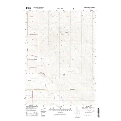
2013 Map of Caribou Mountain
USGS Topo · Published 2013About this map
Caribou Mtn dominates this mountainous landscape in the southeastern corner of Idaho, where the high-altitude terrain of the Caribou National Forest is defined by a dense network of alpine drainages. The area is characterized by deep ravines like Anderson Gulch and high-elevation openings such as Morgan Meadow. The map reveals the intricate watershed of the region, including the headwaters of Willow Cr and N Fork Eagle Cr, which descend through steep contours toward the larger valley systems. Traversing the border between Bonneville Co and Caribou Co, the sheet details a series of forest service routes, including Caribou NF Rd 117 and NFD 189 Rd, which provide access to these remote reaches. The lack of permanent settlements highlights the area's role as a protected wilderness and resource management zone within the national forest system.
Find a feature on this map
25 named features on this map. Tap any name to fly to it.
Don’t see what you’re looking for? This feature index may not catch every label — zoom into the map to look around manually.
Map Details
Editions of this 2013 Caribou Mountain Map
This is the sole edition of this map. No revisions or reprints were ever made.
Other maps of this area

1915 · Freedom
USGS Topo · 1:62,500

1915 · Lanes Creek
USGS Topo · 1:62,500

1932 · Irwin
USGS Topo · 1:96,000

1935 · Irwin
USGS Topo · 1:125,000

1955 · Driggs
USGS Topo · 1:250,000

1955 · Preston
USGS Topo · 1:250,000

1958 · Driggs
USGS Topo · 1:250,000

1958 · Preston
USGS Topo · 1:250,000

1962 · Driggs
USGS Topo · 1:250,000

1962 · Preston
USGS Topo · 1:250,000