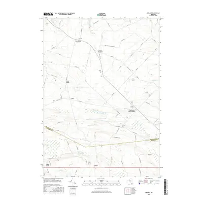
2016 Map of Carlisle
USGS Topo · Published 2016About this map
Charleston Four Corners and Rural Grove serve as primary hubs in this rural landscape spanning the boundary of Montgomery and Schoharie Counties. The area is notably dense with small family and congregational burial grounds, including the Friends Cem and Christian Church Cem, indicating a long-established network of community hamlets and family farmsteads. These cemeteries, alongside names like Currytown, Root Center, and Lykers, trace the lineage of early settlement patterns in upstate New York.
Find a feature on this map
85 named features on this map. Tap any name to fly to it.
Don’t see what you’re looking for? This feature index may not catch every label — zoom into the map to look around manually.
Map Details
Editions of this 2016 Carlisle Map
This is the sole edition of this map. No revisions or reprints were ever made.
Other maps of this area

1896 · Fonda
USGS Topo · 1:62,500

1898 · Fonda
USGS Topo · 1:62,500

1898 · Canajoharie
USGS Topo · 1:62,500

1898 · Schoharie
USGS Topo · 1:62,500

1900 · Canajoharie
USGS Topo · 1:62,500

1900 · Schoharie
USGS Topo · 1:62,500

1900 · Schoharie
USGS Topo · 1:31,680

1902 · Canajoharie
USGS Topo · 1:62,500

1902 · Fonda
USGS Topo · 1:62,500

1904 · Richmondville
USGS Topo · 1:62,500