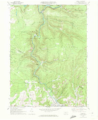
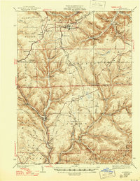
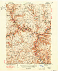
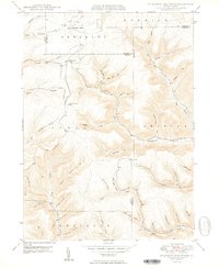
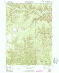
1970 Map of Carman
USGS Topo · Published 1972About this map
Little Toby Creek and the Clarion River dictate the settlement and industrial patterns across this portion of Elk and Jefferson counties. The landscape is defined by extensive state holdings, including State Game Lands No 44 and State Game Lands No 54, which preserve the steep, wooded terrain surrounding Empire Ridge and Elk Lick Bluff.
Find a feature on this map
49 named features on this map. Tap any name to fly to it.
Don’t see what you’re looking for? This feature index may not catch every label — zoom into the map to look around manually.
Map Details
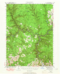
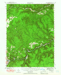
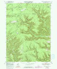
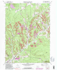
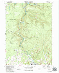
Editions of this 1970 Carman Map
3 editions found
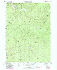
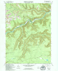
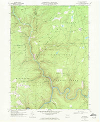
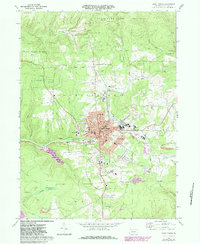
Historical Maps of Polk Township Through Time
27 maps found
1935 Mt. Jewett
Elk County, PA
1940 Hallton
Elk County, PA
1940 Mt. Jewett
Elk County, PA
1941 Benezette
Elk County, PA

1943 Benezette
Elk County, PA
1943 Hallton
Elk County, PA
1948 Wildwood Fire Tower
Elk County, PA
1950 Wildwood Fire Tower
Elk County, PA
1966 Russell City
Elk County, PA
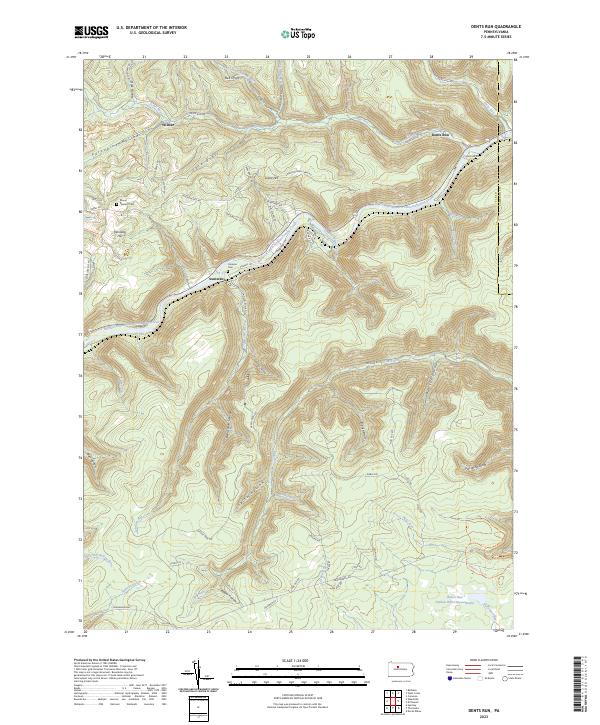
1969 Dents Run
Elk County, PA

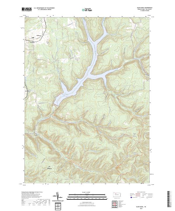
1969 Glen Hazel
Elk County, PA
1969 Hallton
Elk County, PA

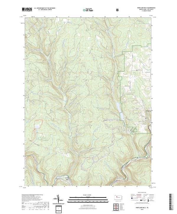
1969 Portland Mills
Elk County, PA
1969 Rathbun
Elk County, PA
1969 Saint Marys
Elk County, PA
1970 Brandy Camp
Elk County, PA
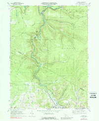
1970 Carman
Elk County, PA

2023 Brandy Camp
Elk County, PA

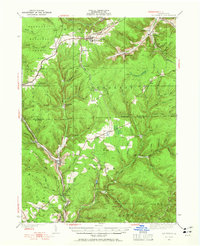
2023 Carman
Elk County, PA
2023 Dents Run
Elk County, PA
2023 Glen Hazel
Elk County, PA

2023 Hallton
Elk County, PA
2023 Portland Mills
Elk County, PA

2023 Rathbun
Elk County, PA

2023 Russell City
Elk County, PA

2023 Saint Marys
Elk County, PA

2023 Wildwood Fire Tower
Elk County, PA
Featured Locations
- Polk Township, PA
- Snyder Township, PA
- Horton Township, PA
- Ridgway Township, PA
- Carman, Spring Creek Township