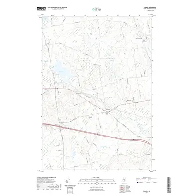
2021 Map of Carmel
USGS Topo · Published 2021About this map
Carmel and the surrounding Penobscot County countryside are defined by a network of waterways and small rural settlements in this modern survey. The Souadabscook Stream flows through the heart of the area, connecting the villages of Damascus and Carmel, while to the west, the landscape opens into the expanse of Etna Pond and the ecologically significant Etna Bog. This map captures a classic Maine interior landscape where local aviation at Ring Hill Airport sits alongside long-established communities like South Levant and Etna Center. Genealogists will find several burial sites documented, including Carmel Village Cem and the Pleasant Hill Cem near the bog. The proximity of Harvey Stream and Black Stream further highlights the watery geography that has historically shaped settlement patterns and road placements throughout the township.
Find a feature on this map
68 named features on this map. Tap any name to fly to it.
Don’t see what you’re looking for? This feature index may not catch every label — zoom into the map to look around manually.
Map Details
Editions of this 2021 Carmel Map
This is the sole edition of this map. No revisions or reprints were ever made.
Other maps of this area

1900 · Bucksport
USGS Topo · 1:62,500

1902 · Bucksport
USGS Topo · 1:62,500

1902 · Bangor
USGS Topo · 1:62,500

1931 · Stetson
USGS Topo · 1:48,000

1932 · Brooks
USGS Topo · 1:62,500

1935 · Stetson
USGS Topo · 1:62,500

1942 · Bangor
USGS Topo · 1:62,500

1942 · Bucksport
USGS Topo · 1:62,500

1946 · Bangor
USGS Topo · 1:62,500

1948 · Bangor
USGS Topo · 1:250,000