2022 Map of Carmen
USGS Topo · Published 2022About this map
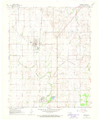
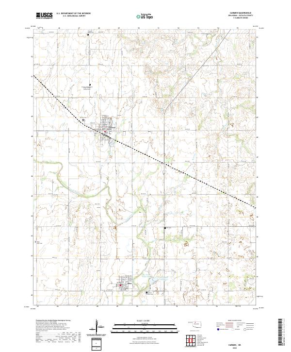
Carmen and Aline anchor this section of Alfalfa County, where the plains are defined by a network of sectional roads and the meandering path of Eagle Chief Cr. The landscape is notably dense with fraternal and community burial sites, including the Carmen Independent Order of Old Fellows Cem and the Eastern Star Cem, reflecting the deep-rooted social and civic fabric of these agricultural settlements. To the southeast, the terrain shifts near the waters of Big Timber Lakes West and Big Timber Lakes East. The mapping reveals a well-ordered grid of rural routes such as e0300 RD and n2550 RD that facilitate movement across the prairie. Smaller waterways like Spring Cr and W Clay Cr provide drainage for the surrounding fields, illustrating the essential relationship between the local geography and the rural economy of northwest Oklahoma.
Find a feature on this map
76 named features on this map. Tap any name to fly to it.
Don’t see what you’re looking for? This feature index may not catch every label — zoom into the map to look around manually.
Map Details
Editions of this 2022 Carmen Map
This is the sole edition of this map. No revisions or reprints were ever made.