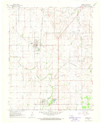
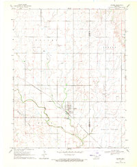
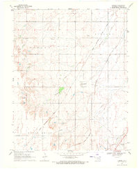
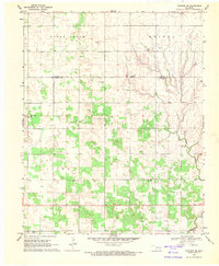
1968 Map of Carmen
USGS Topo · Published 1970About this map
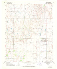
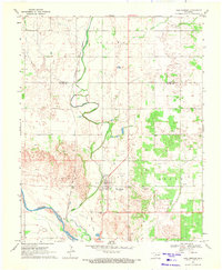
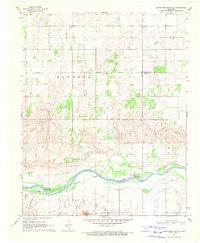
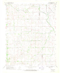
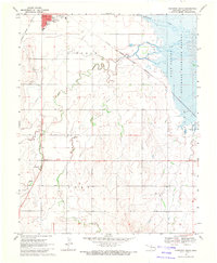
The town of Carmen serves as a central hub on this Alfalfa County survey, situated at the junction of two major rail lines during the late 1960s. The landscape is defined by the heavy presence of the energy industry, with the South Carmen Oil Field and Ringwood Oil Field covering significant portions of the terrain. The Atchison Topeka and Santa Fe, Chicago Rock Island and Pacific, and St Louis-San Francisco railroads create a dense transportation network that supported both the local agricultural economy and the extraction of oil and gas.
Find a feature on this map
21 named features on this map. Tap any name to fly to it.
Don’t see what you’re looking for? This feature index may not catch every label — zoom into the map to look around manually.
Map Details
Editions of this 1968 Carmen Map
This is the sole edition of this map. No revisions or reprints were ever made.
Other maps of this area

1955 · Woodward
USGS Topo · 1:250,000

1958 · Woodward
USGS Topo · 1:250,000
1969 · Dacoma
USGS Topo · 1:24,000
1969 · Lambert
USGS Topo · 1:24,000
1969 · Fairview NE
USGS Topo · 1:24,000
1969 · Helena
USGS Topo · 1:24,000
1969 · Cleo Springs
USGS Topo · 1:24,000
1969 · Glass Mountains NE
USGS Topo · 1:24,000
1969 · Dacoma SE
USGS Topo · 1:24,000
1969 · Cherokee South
USGS Topo · 1:24,000