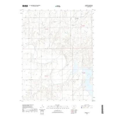
2018 Map of Carneiro
USGS Topo · Published 2018About this map
Carneiro serves as the primary settlement hub in this part of Ellsworth County, situated just north of the Carneiro Cem. The landscape is defined by the significant drainage systems of the Smoky Hill River, which flows through the central portion of the map, and the northern reaches of Kanopolis Lake in the southeast. Numerous tributaries, including Clear Cr, Alum Cr, and Thompson Creek, carve through the terrain, creating a complex network of valleys and ridges. Genealogists and local historians can locate the Buckeye Cem in the southwestern quadrant, near the junction of Ave P and Co Rd. The map also illustrates a grid-like road system typical of the Kansas plains, including local routes such as Yankee Run Rd and Ave J.
Find a feature on this map
32 named features on this map. Tap any name to fly to it.
Don’t see what you’re looking for? This feature index may not catch every label — zoom into the map to look around manually.
Map Details
Editions of this 2018 Carneiro Map
This is the sole edition of this map. No revisions or reprints were ever made.
Other maps of this area

1892 · Salina
USGS Topo · 1:125,000

1894 · Ellsworth
USGS Topo · 1:125,000

1942 · Salina
USGS Topo · 1:125,000

1955 · Great Bend
USGS Topo · 1:250,000

1955 · Hutchinson
USGS Topo · 1:250,000

1957 · Great Bend
USGS Topo · 1:250,000

1957 · Ellsworth
USGS Topo · 1:24,000

1957 · Westfall SW
USGS Topo · 1:24,000

1957 · Brookville SW
USGS Topo · 1:24,000

1957 · Westfall SE
USGS Topo · 1:24,000